White House Building with US Flag on a Blue Sky
White House Building with US Flag on a Blue Sky,
Colorful USA Map
Colorful USA Map, Colorful USA map with states and capital cities
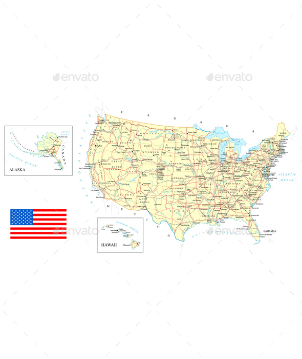
USA – Detailed Map – Illustration.
USA – Detailed Map – Illustration., Map contains topographic contours, country and land names, cities, water objects, roads, railways. Zip file contains RGB JPEG image ( 8039×4377 pixels), Illustrator (AI) and EPS10 vector file.
Political Map of North America
Political Map of North America, Vector of political map of North America set with buttons flags on white background. Package contains: EPS (10 version), JPG (5000×5000 pixels, RGB)
Simple Buildings
Simple Buildings, Set of black symbols of buildings, including famous
North America Map with USA and Canada
North America Map with USA and Canada, North America is a continent entirely within the Northern Hemisphere and almost all within the Western Hemisphere. The largest countries of the continent, Canada and the United States.
USA States Flags Collection
USA States Flags Collection, Vector of map United States of America with all states flags collection. Package contains: EPS (10 version), JPG (5000×5000 pixels, RGB)
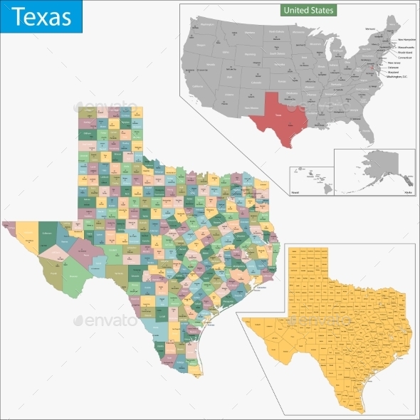
Texas Map
Texas Map, Map of Texas state designed in illustration with the counties and the county seats
North America Map with USA Canada and Mexico
North America Map with USA Canada and Mexico, The largest countries of the North America are Canada, the United States and Mexico.
Political Map of North America
Political Map of North America, Vector of political map of North America set with buttons flags on white background. Package contains: EPS (10 version), JPG (5000×5000 pixels, RGB).
Illustration Map of The United States of America
Illustration Map of The United States of America, The United States of America is a federal republic composed of 50 states
North Carolina Map
North Carolina Map, Map of North Carolina state designed in illustration with the counties and the county seats
Tennessee Map
Tennessee Map, Map of Tennessee state designed in illustration with the counties and the county seats
Georgia Map
Georgia Map, Map of Georgia state designed in illustration with the counties and the county seats.?
United States Regions and Divisions
United States Regions and Divisions, Vector map of United States with named regions and divisions. Package contains: EPS (10 version), JPG (5000×3808 pixels, RGB).
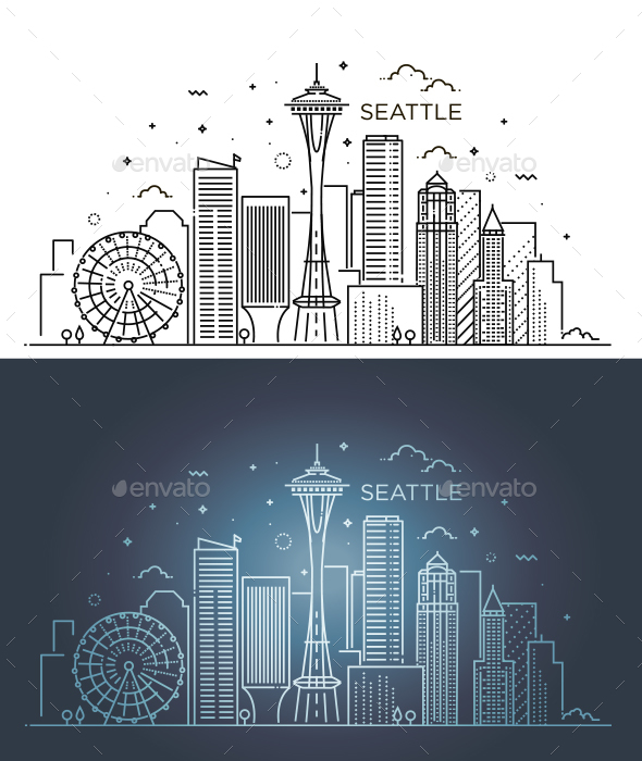
Banner of Seattle
Banner of Seattle, Linear banner of Seattle city. Line art. Day and Night variation
New Jersey Map
New Jersey Map, Map of New Jersey state designed in illustration with the counties and the county seats
American Presidents and Statesman Mascot Collection
American Presidents and Statesman Mascot Collection, Mascot icon illustration set of heads of American presidents, patriot, heroes and statesman like Abraham Lincoln, Benjamin Franklin,Theodore Roosevelt, Thomas Jefferson and George Washington, viewed from on isolated background in retro style. Zip download include separate vector EPS, hi-res JPG and transparent PNG files.
Ohio Map
Ohio Map, Map of Ohio state designed in illustration with the counties and the county seats
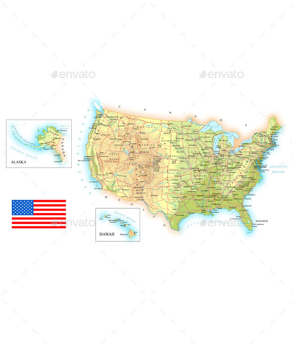
USA Detailed Topographic Map
USA Detailed Topographic Map, Map contains topographic contours, country and land names, cities, water objects, flag, roads, railways.
Pennsylvania Map
Pennsylvania Map, Map of Pennsylvania state designed in illustration with the counties and the county seats
Hawaii Map
Hawaii Map, Map of Hawaii state designed in illustration with the counties and the county seats
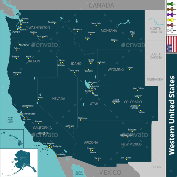
Western United States
Western United States, Vector set of Western United States with neighboring states. Package contains: EPS (10 version), JPG (5000×5000 pixels, RGB)
Indiana Map
Indiana Map, Map of Indiana state designed in illustration with the counties and the county seats
Seattle Skyline
Seattle Skyline, A vector illustration of Seattle skyline in cartoon style. Vector illustration, zip archive contain eps 10 and high resolution jpeg.
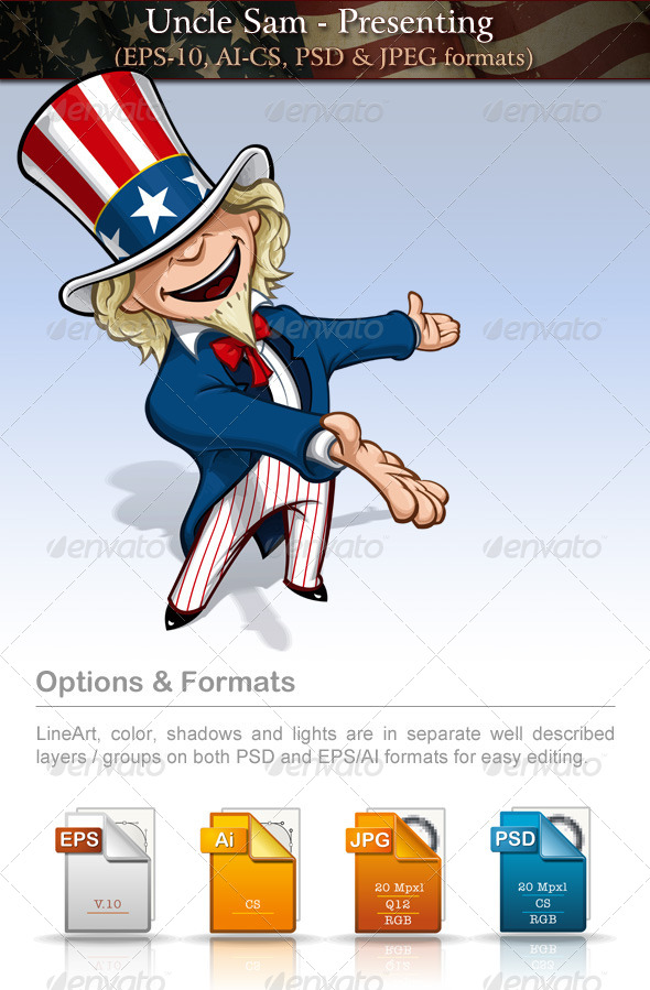
Uncle Sam – Presenting
Uncle Sam – Presenting, Vector Cartoon Illustration of Uncle Sam presenting a blank – waiting to be filled space. LineArt, color, shadows and lights are in separate well described layers / groups on both PSD and EPS/AI formats for easy editing. Enjoy! Part of this Collection: Feel free to visit my Portfolio through these general Collections:
Virginia Map
Virginia Map, Map of Virginia state designed in illustration with the counties and the county seats
Isometric Meeting the President with Voters
Isometric Meeting the President with Voters, Trendy Isometric people 3D businessmen, people elections, President’s speech, birthday of Washington, meeting with press, vote on performance trebune, gym, flag.
Maryland Map
Maryland Map, Map of Maryland state designed in illustration with the counties and the county seats


